H2A / USGS EXPLORER
The USGS model.
In its original context.
Explore official 2025 hydrogen-system layers for the conterminous United States, with original classification and traceable observations.
Loading map…
DISPLAY / EPSG:3857Data coordinates / WGS 84—
Model values describe geological sufficiency, not concentration, reserves or drilling success probability. Display rasters are derived from official vector polygons; detailed analysis requires the original data.
READ THE EVIDENCE
Records in this view
SCIENTIFIC READING GUIDE
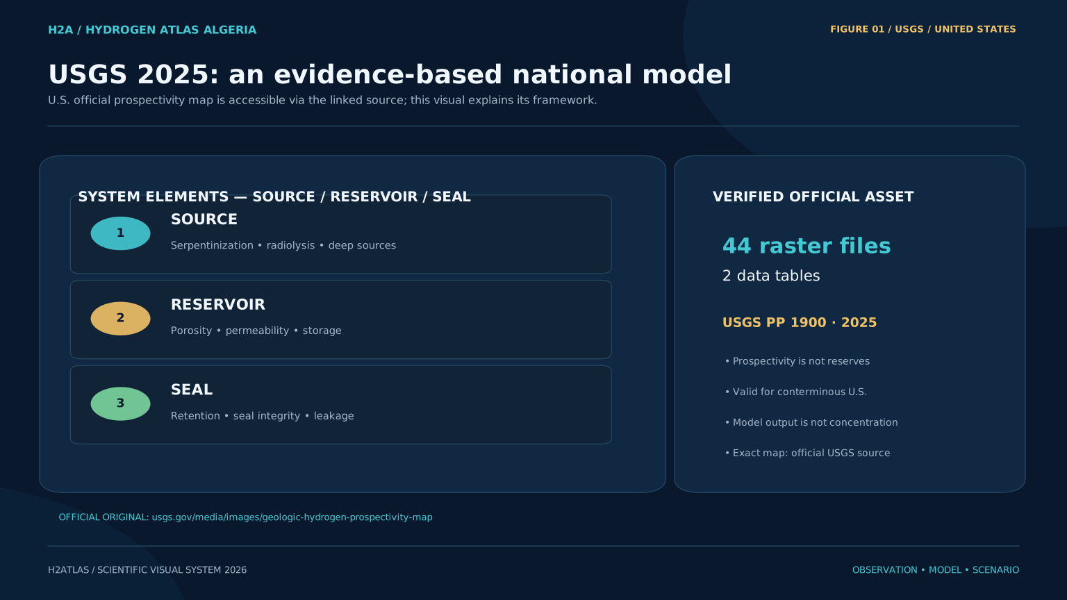
Conceptual schematicUSGS framework: official data release and system components. Conceptual explanation, not the original prospectivity map.