01Available in this release
H2Atlas-DZ
Reference-domain maps, an auditable catalog, bibliography and explicit uncertainty.
The live atlas is the first evidence layer of a broader geoscience program. Research modules are labeled separately from available tools.
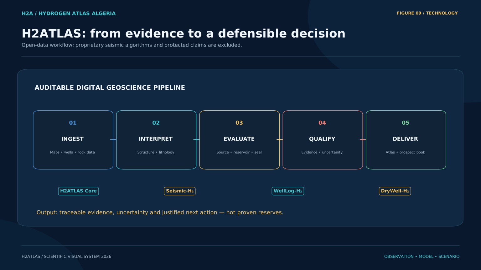
Reference-domain maps, an auditable catalog, bibliography and explicit uncertainty.
Proposed seismic interpretation and multi-attribute workflows. No validated seismic classifier is exposed in this release.
Proposed well-log reinterpretation with independent geochemical validation. No automated hydrogen detection is claimed.
Proposed evaluation of historical wells, subject to data access, rights and applicable authorizations.
Water–rock experiments and reactive-transport research to test source hypotheses and scaling assumptions.
Evidence books, risk assessment and preliminary economic and life-cycle analysis after suitable data validation.
The original concept is preserved below as a design reference, with its simulated outputs clearly identified.
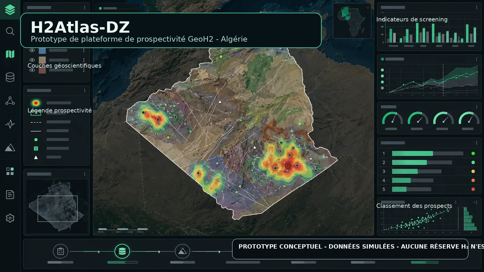
Indicative project horizons from the supplied project plan; not calendar commitments or claims of completed work.
Define provenance, access conditions and validation requirements.
Audit datasets, integrate licensed layers and expose missing information.
Develop and benchmark seismic and well-log research workflows.
Test hypotheses with documented protocols and required permissions.
Assess evidence convergence, economics and environmental performance.
Prepare validated evidence books and partner review.